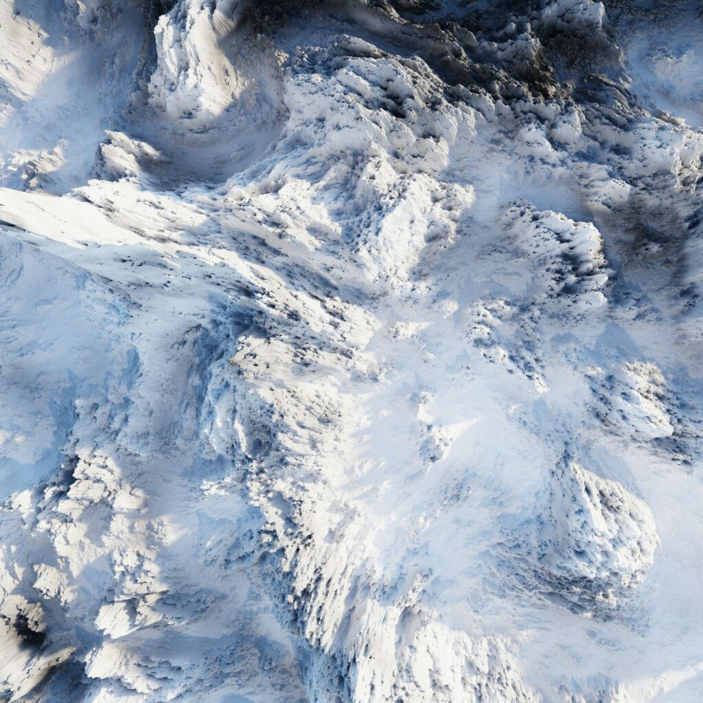
For the first time Antarctica has been fully mapped beneath its ice sheet, revealing a surprisingly diverse landscape. Mountains, deep glacial valleys, plains and more than 30,000 previously unknown hills emerge from the ice sheet covering a continent about half the size of Africa. The research, published in Science, was led by glaciologists Robert Bingham of the University of Edinburgh and Helen Ockenden of the Institut des Geosciences de l’Environnement.
The scientists combined high-resolution satellite images with a method called Ice-Flow Perturbation Analysis (Ifpa), which uses changes in ice flow to infer the shape of the underlying terrain. “We can now estimate the topography anywhere on the continent, even in areas never detected by airborne radar or ground surveys,” Ockenden explained. Previous maps left gaps of tens of kilometers; Ifpa fills them and shows a continuous panorama of hidden landscapes.
Ice dynamics
Knowing the shape of the bedrock under the ice is critical to understanding how Antarctica will respond to climate change. Uneven relief slows the sliding of ice toward the ocean, affecting estimates of sea rise. “Having an accurate map is essential for models that predict how fast the ice will reach the sea and how much it will contribute to global rising levels,” Bingham said.
The Ifpa map shows landscapes on scales from 2 to 30 km: deep glacial channels, previously unexplored plateaus, and ridges similar to the alpine ridges of Scotland, Scandinavia, or Greenland. Subglacial basins, such as the Maud and Recovery basins, harbor depressions and complex hydrologic systems, while plateaus preserve ancient valleys and ridges, evidence of past glaciation.
Classifying the hidden landscape
Analyzing morphology, researchers divided Antarctica into three landscape types: alpine, low relief and “selectively eroded.” The latter, which covers about 56 percent of the continent, shows areas where glacial erosion has deeply etched the rock, leaving residual relief. The map distinguishes areas where erosion is still active along current ice flows from relict landscapes that document past ice sheets, probably predating the middle Miocene.
In addition to clarifying the distribution of low relief terrain, Ifpa identifies mesoscale hills and asperities ignored by previous maps. The number of these structures is almost double the number in recent surveys, providing new data on roughness and basal ice strength, key parameters for modeling its future behavior.
This portrait of Antarctica under the ice paves the way for more focused studies, indicating where detailed surveys are needed and improving predictions of the continent’s evolution and rising seas. Earth’s coldest continent, and in some ways more mysterious than Mars, now offers a new perspective on the Planet’s icy heart.