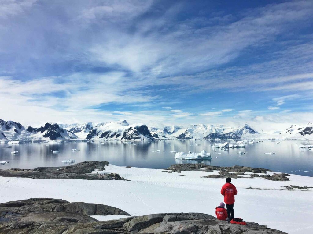
Ice is also retreating in Antarctica. A study published in Proceedings of the National Academy of Sciences and led by Eric Rignot of the University of California at Irvine has reconstructed, using three decades of satellite radar data, the complete map of this retreat. From 1996 to the present , Antarctica has lost 12,820 square kilometers of ground-anchored ice. For comparison’s sake, that’s an area almost as large as the entire province of Naples.
Where the ice retreats the most
The loss is not uniform. Seventy-seven percent of the Antarctic coastline shows no significant change in the ice anchor line. But the remaining 23 percent concentrate marked retreats, especially in West Antarctica and the Antarctic Peninsula, as well as some portions of East Antarctica.
In the Amundsen Sea, the most striking cases are recorded. Pine Island Glacier has seen its anchor line retreat by 33 kilometers since 1996, the Thwaites by 26 kilometers, the Smith by as much as 42. These are enormous distances in glaciological terms-they are signs of a system that has lost stability. On average, the total retreat is equivalent to 442 square kilometers per year.
The dynamics are now clear. Warmer ocean water, pushed under the ice shelves by winds and currents, erodes the base of the glaciers. It is a bottom-up action that weakens the entire structure. Some areas remain relatively stable; others show real deep wounds.
A continent changing faster than expected
West Antarctica is considered the most vulnerable portion because much of its ice sheet rests on bedrock that is below sea level. As the anchor line recedes inward, the ice comes into contact with deeper and warmer waters, triggering a potentially self-powered mechanism of instability.
Altogether, the Antarctic continent contains enough ice to raise the global sea level by about 58 meters if it melts completely. This is not a close scenario, but the current contribution is already concrete. According to the IPCC’s most recent assessments, Antarctica contributes a few tenths of a millimeter per year to average sea level rise, a share that adds to that caused by melting in Greenland and thermal expansion of the oceans.
From 1992 to the present, satellite estimates indicate that Antarctica has lost trillions of tons of ice. The trend is not linear but shows an acceleration in West Antarctica over the past two decades. The new 30-year archive on the anchor line thus becomes a test case for climate models: if they cannot reproduce what has already happened, they can hardly reliably predict what will happen.
Apparent stability, real fragility
The fact that more than three-quarters of the coast remains stable may seem reassuring. In part it is: it means that the collapse is not generalized. But it is precisely the concentration of losses in strategic areas, such as the great draining glaciers of West Antarctica, that makes the situation delicate. It is these glaciers that hold huge volumes of inland ice; if they lose stability, the effect can spread upstream.
The picture taken by European, Canadian, Japanese, Italian and Argentine radars-along with NASA data-represents an accurate inventory. And it says that change is already taking place, measurable kilometer by kilometer.