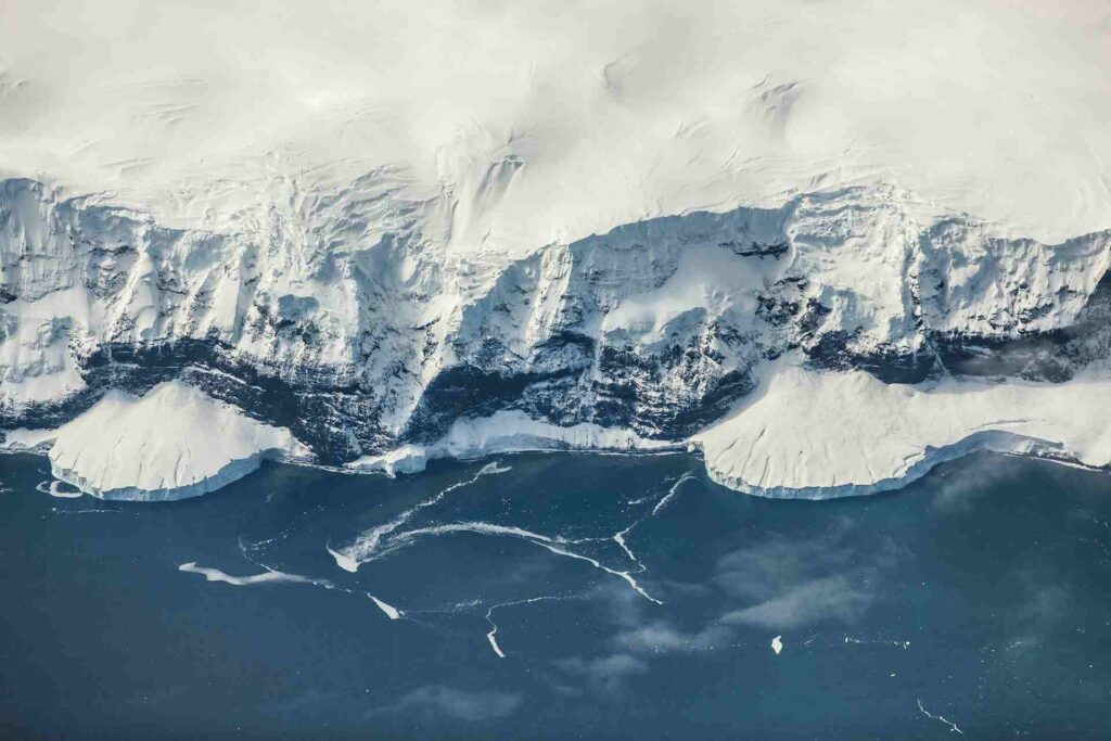
If that were ever to happen, it would be a global disaster for humanity. If (hypothetically) all the ice covering the Antarctic continent were to melt, sea levels (aside from all the other disastrous consequences) would rise by nearly 60 meters, submerging large coastal areas. A new subglacial atlas, published in *Science*, reveals, in unprecedented detail, the topography lying beneath the Antarctic ice sheet, identifying over 30,000 previously unknown landforms and a network of mountain ranges, canyons, and plateaus.
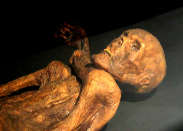
The Antarctic ice sheet is the largest mass of ice on Earth and contains about 70% of the planet’s fresh water. It has an estimated average thickness of about 2 kilometers, with a maximum of nearly 5. Antarctica, however, has not always been covered in ice. Over 34 million years ago, its subglacial features were carved out by nature and were later further reshaped by the dynamics of the ice sheet.
A Diverse Mosaic
Scientists have created the most detailed map ever made of the landscape buried beneath the vast ice sheet covering Antarctica, revealing a hidden continent of mountains, canyons, valleys, and plains, and identifying tens of thousands of smaller landforms for the first time. This result comes from combining the latest high-resolution satellite observations with a glacial flow analysis technique that infers the shape of the terrain and its conditions based on signals from the ice surface. The outcome is a continuous picture of the entire continent, including areas that had previously been left off maps.
Knowing the exact shape of the bedrock is more than just a geological curiosity. The roughness of the bed, the buttresses, and the ridges all affect the friction that resists glacial flow—a decisive factor in numerical models that attempt to estimate how quickly Antarctica will lose mass to the ocean, contributing to sea-level rise.
The new atlas reveals a diverse mosaic, no less complex than that of the emergent continents. It features mountain ranges, vast plains, and deep valleys, as well as more than 30,000 hills—each rising more than 50 meters above the surrounding terrain—that have not yet been cataloged. For scientists, this is a landscape typical of highlands carved by deeply incised glacial valleys, such as those found in Scotland, Scandinavia, Canada, and Greenland. Antarctica is about 40% larger than Europe and covers an area roughly half the size of Africa.
We knew more about Mars than we did about Antarctica
Paradoxically, until now, the surface of Mars was better mapped than the Antarctic ice sheet. The reason is technical: subglacial topography is traditionally mapped using radar mounted on aircraft or towed by sleds, with surveys covering strips of the territory that often leave gaps of 5 or 10 kilometers between one line and the next—and in some cases, as much as 150 kilometers.
“The method we used is truly exciting because it allows us to combine the mathematics of ice flow with high-resolution satellite observations of the surface and to deduce what the underlying landscape must look like everywhere—even in all those gaps between field surveys. It gives us a much more complete picture of how different landforms are connected to one another,” explains Helen Ockenden, a glaciologistat the Institut des Géosciences de l’Environnement in France and the study’s lead author.