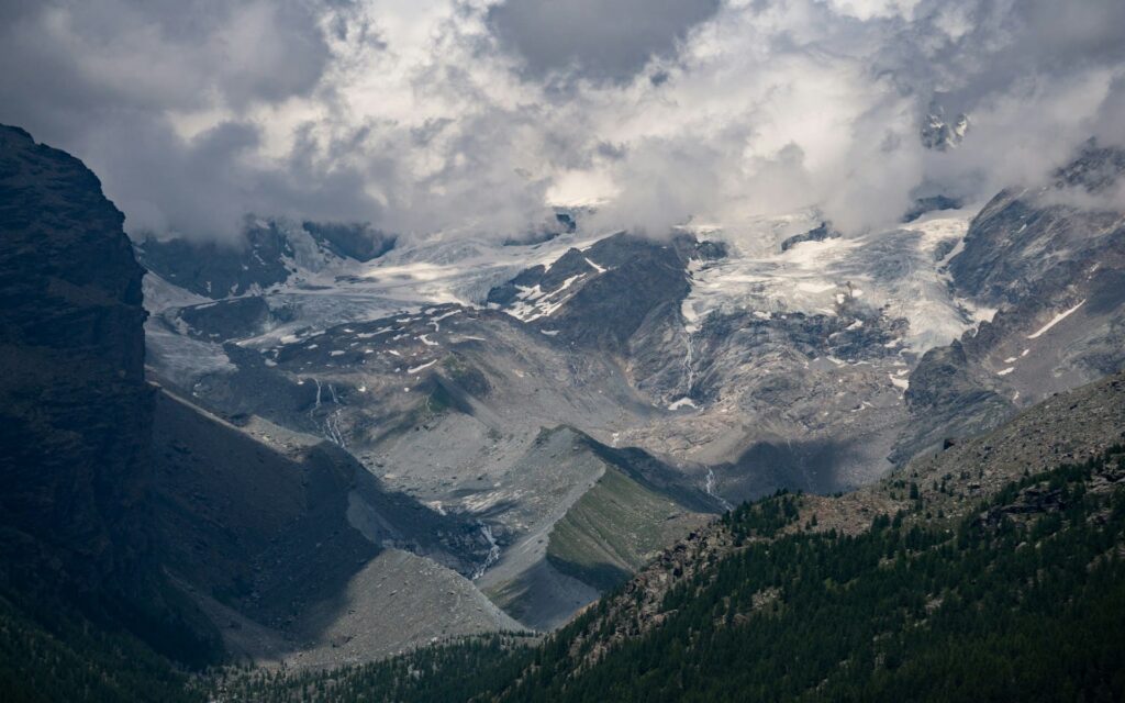
Every year, the Alps lose billions of cubic meters of ice, and that receding weight also leaves its mark on the underlying rock: the Earth’s crust bends, rises, and slowly changes shape. The National Institute of Geophysics and Volcanology has just launched iCEALP (ice–Climate–solid Earth coupling driving ALPine uplift), a research project included in the “Dynamic Planet 2026–2029” framework plan, to measure the extent to which glacier melt, drought, and extreme hydrological events alter the internal pressures within the Earth’s crust, with direct implications for the stability of mountain slopes and, potentially, for local seismic activity.
The project is coordinated by Enrico Serpelloni, a senior researcher at the Bologna branch of the INGV, and involves a broad consortium: the University of Turin, the Montagna Sicura Foundation, the Universities of Milan-Bicocca, Bologna, and Trento, ENEA, as well as international partners ETH Zurich and DTU Space in Denmark.
How Ice Shapes Rock
When a glacier melts, the weight that has compressed the underlying rock for millennia decreases, and the Earth’s crust reacts by slowly bending and rising. The same thing happens—albeit in a different way—when heavy rains or prolonged droughts redistribute large masses of water. These adjustments can make mountain slopes more unstable and, in some cases, interact with seismic faults—a mechanism that has not yet been well quantified in the Alps, which iCEALP aims to measure precisely.
A Digital Twin of the Alps
The most innovative component of the project is the “Digital Twin” of the Alpine system: a simulator that integrates geodetic, seismological, hydrological, and satellite data into three-dimensional models capable of projecting scenarios through 2050 and beyond, based on various climate trajectories. This represents a shift in approach from established practice, which until now has treated deglaciation, extreme hydrology, and tectonic dynamics as separate phenomena.
Two observatories, two natural laboratories
In terms of infrastructure, iCEALP calls for the construction of AMIGHO (Alpine Mountain Integrated Geophysical High-altitude Observatory) in the Monte Rosa area, designed to address the lack of high-altitude geophysical monitoring. At the same time, HySO—the hydro-seismological observatory already operating in northwestern Greenland—will be expanded, along with THAAO.
The decision to focus on two regions so far apart is no coincidence: the Alps offer a system where geodynamic, climatic, and hydrological processes are intricately intertwined, while Greenland—where glacial mass loss is massive and the signs of crustal deformation are most pronounced— serves as a testing ground for calibrating the models before applying them to the Alpine context.
Implications for Risk Prevention
A precise understanding of this mechanism means being able to inform tools for geological risk prevention and land-use planning in Alpine areas, where mountain tourism and valley settlements now coexist on a permanent basis with an accelerating glacial crisis. The initial site surveys for the implementation of AMIGHO have already begun, as has the expansion of HySO.