Every day we walk along streets, through squares, and on sidewalks without wondering what lies beneath. Clay that swells and shrinks, groundwater levels that rise and fall, slopes that slide, dormant volcanoes. Yet it is precisely that hidden world that determines how solid, vulnerable, or fragile a city is. Starting today, there’s a way to find out at a glance: a single number.
It is called the Urban Geo-climate Footprint (UGF), and it was developed by ISPRA in collaboration with EuroGeoSurveys, the network that brings together European geological surveys. The method draws on public databases and cross-references three categories of information: the geological characteristics of the territory, climatic pressures, and pressures exerted by human activities. The result is a score ranging from 0 to 500. The higher the score, the more the natural environment influences the city’s development and functioning.
The Ranking You Don’t Expect
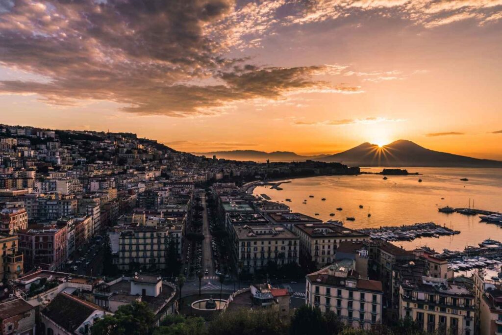
The test has already been conducted in several European cities and in all Italian regional capitals and autonomous provinces. And the differences are striking. Naples tops the list with 359 points, which comes as no surprise: Mount Vesuvius, the Phlegraean Fields, and bradyseism, along with a subsoil hollowed out by centuries of quarries and cavities. Next is Genoa (304), squeezed between the sea and the mountains and prone to flooding, followed by Palermo (265), Bari (255), and Catanzaro (250).
At the bottom of the ranking—that is, among the quietest cities—are Trento (94 points, the lowest score), Bolzano (144), Milan (155), Aosta (160), and Trieste (162). This finding debunks some common misconceptions: Alpine cities, surrounded by mountains, are under less pressure than many cities on the plains or along the coast.
It’s Not All Bad News
The score is just the starting point. The same method allows us to compile the CITY GEO Factsheet (CGF), a true geological “identity card” for the city. Like the document we carry in our wallets, it summarizes the essential characteristics in just a few lines: the type of terrain on which it is built, how groundwater behaves, the pressures exerted by the climate and human activity, and the geological risks that loom.
But—and this is the most interesting part—the map doesn’t just list the weaknesses. It also identifies the resources: an abundant aquifer, stable subsoil, and materials and conditions that can become an advantage. In short, it’s a comprehensive snapshot that helps us understand where attention is needed and where, on the other hand, the city can rely on solid foundations—in the literal sense.
Knowledge Leads to Prevention
“Knowing what lies beneath our feet helps us decide what to do above ground,” summarizes Maria Alessandra Gallone, president of ISPRA and the National System for Environmental Protection. With this tool, she explains, “a single glance is enough to understand the territory on which a city stands, what its major challenges are, and where action can be taken.” The goal is to transform scientific data—which is often scattered and difficult to interpret—into concrete guidance for mayors, urban planners, and administrators, who are called upon to plan in an environment that is changing at an ever-faster pace. Because, Gallone concludes, “knowing in advance means taking better action in a timely manner.”
For those who want to put their city to the test, the Ispra website offers the tool, a user guide, some examples of how it can be used, and a documentary about the project.